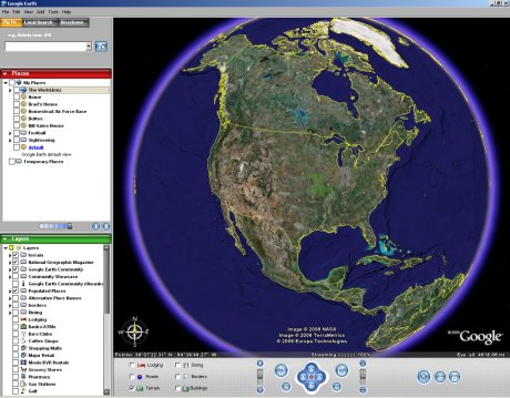
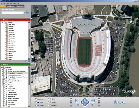
If you teach geography, this is an application you need to get. Google Earth is a free program that can be downloaded from the URL above. It is available for the PC or Mac. Once you install the program, you are plugged into Google’s database of satellite images and geographic data. You can look at places like Ohio Stadium in Columbus.
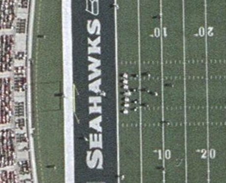
Some locations have high resolution images. In the picture below, you can not only see that the field says “Seahawks”, but also that the home team is on defense and in a four-man front. The resolution varies from place to place. In Findlay, the resolution is so poor, my neighborhood (30 homes) is not clearly visible.
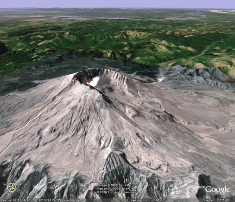
Here is a picture of Mount St Helens. From the shadow, you can tell that half of the mountain was blown away during a volcanic eruption. But Google Earth also has altitude information.
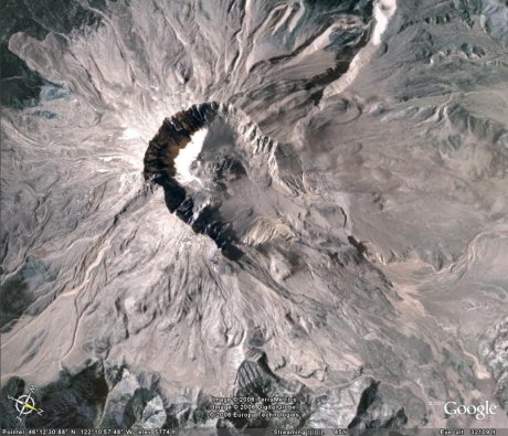
By changing the angle of view (a feature built into Google Earth), you can see how tall the mountain is and just how much of the side is gone.
