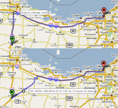
I was using Google Maps to find out how far it was from my house to Cleveland. Normally, Google Maps will stick to four lane highways if possible. From experience, I know it’s quicker to take the state routes from Fremont to Findlay. Now Google maps will let me make modifications to my route simply by dragging a point on the route to a new point.

Above, I dragged the Perrysburg point of the route down to Fostoria. Google Maps recalculates my trip based on this new travel requirement. You can let Google give you the basic route and then tweak the itinerary to pass through specific places that might be off the beaten path.
